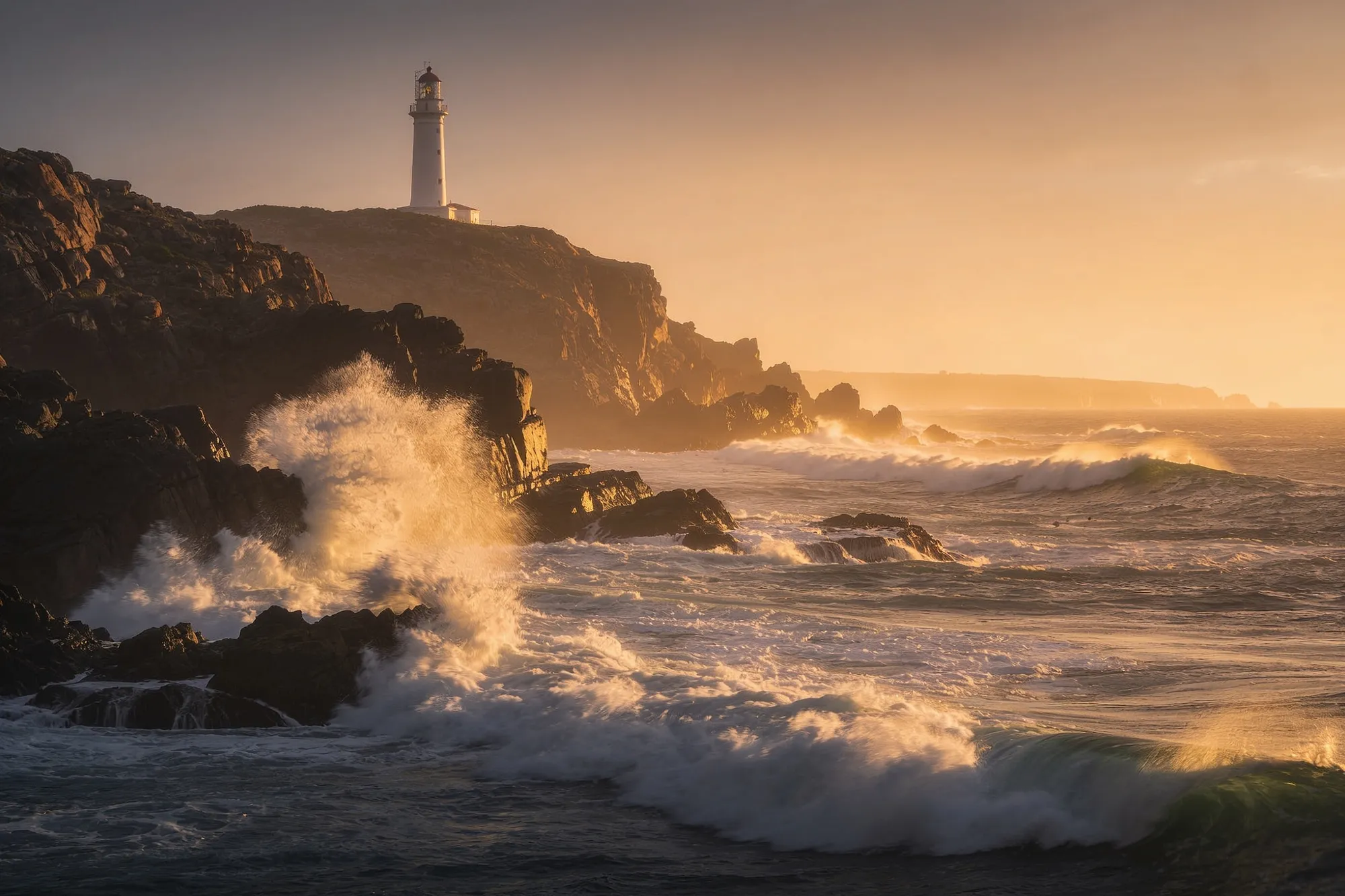
Cape Agulhas is the very bottom of Africa, the southernmost point of the continent, and the spot where the Atlantic and Indian oceans are taken to meet. It sits about two hours east of Hermanus, low and windswept at the edge of the Agulhas National Park, and for all that it’s a humble-looking place, there’s a real pull to standing at the end of a continent.
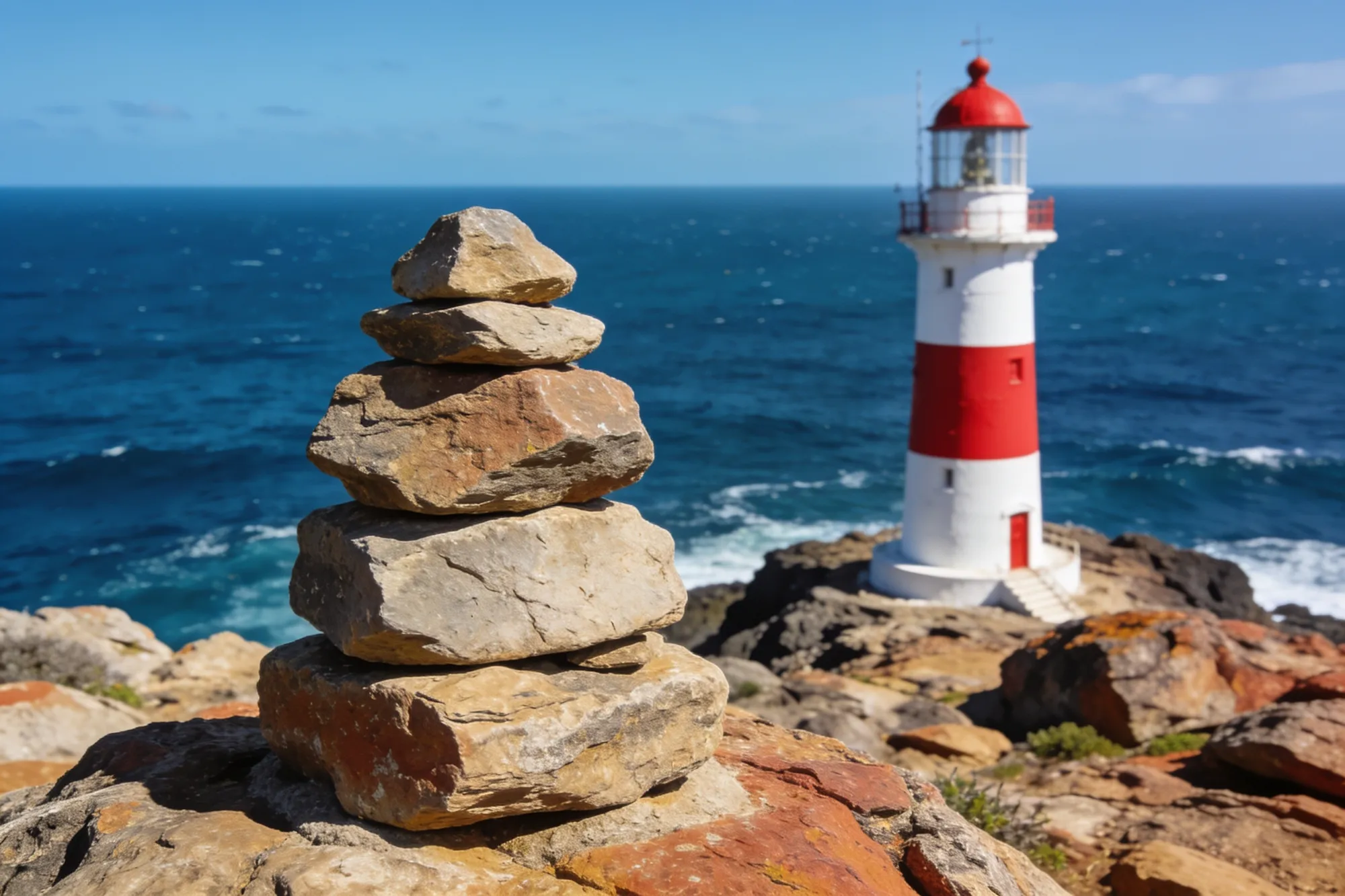
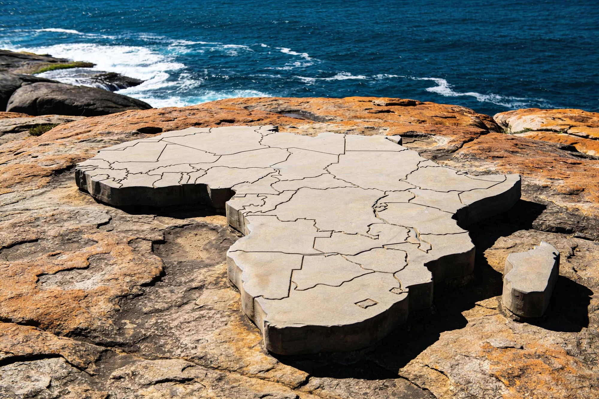
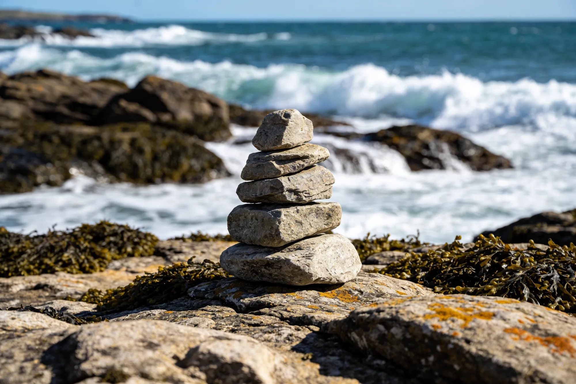
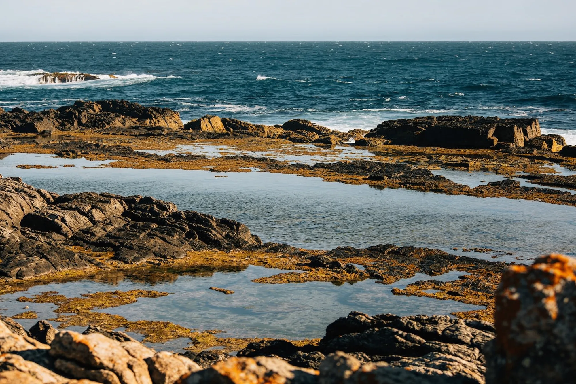
The southernmost point itself is marked by a stone cairn and a newer map-of-Africa monument, reached by a short boardwalk from the car park. The meeting of the two oceans is a line on the map rather than something you can see in the water, but the geography is the draw: this, not the more famous Cape of Good Hope up near Cape Town, is the true tip of Africa and the official ocean boundary. The Portuguese named it ‘Cabo das Agulhas’, the Cape of Needles, after the way their compasses pointed true north here.
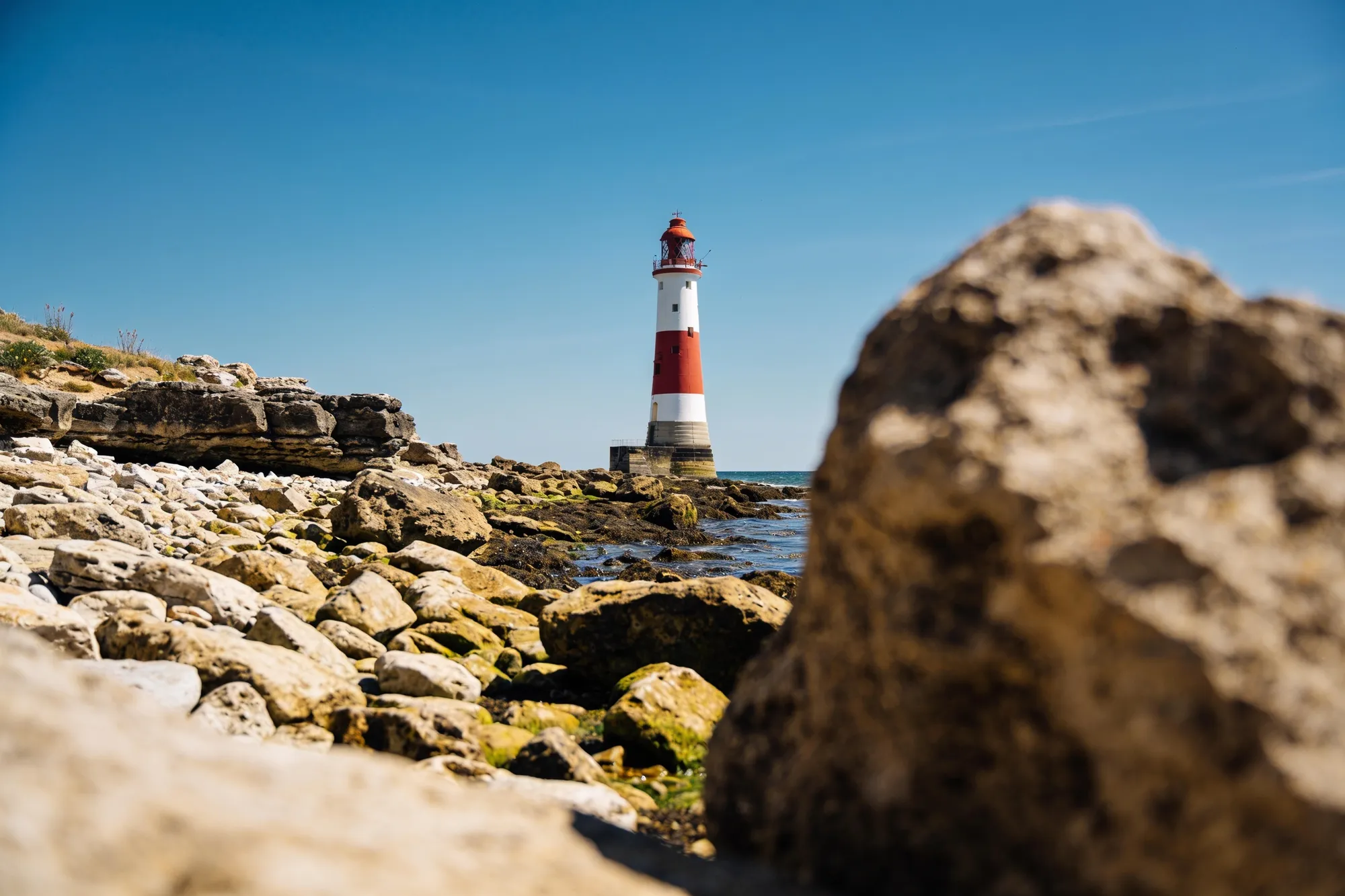
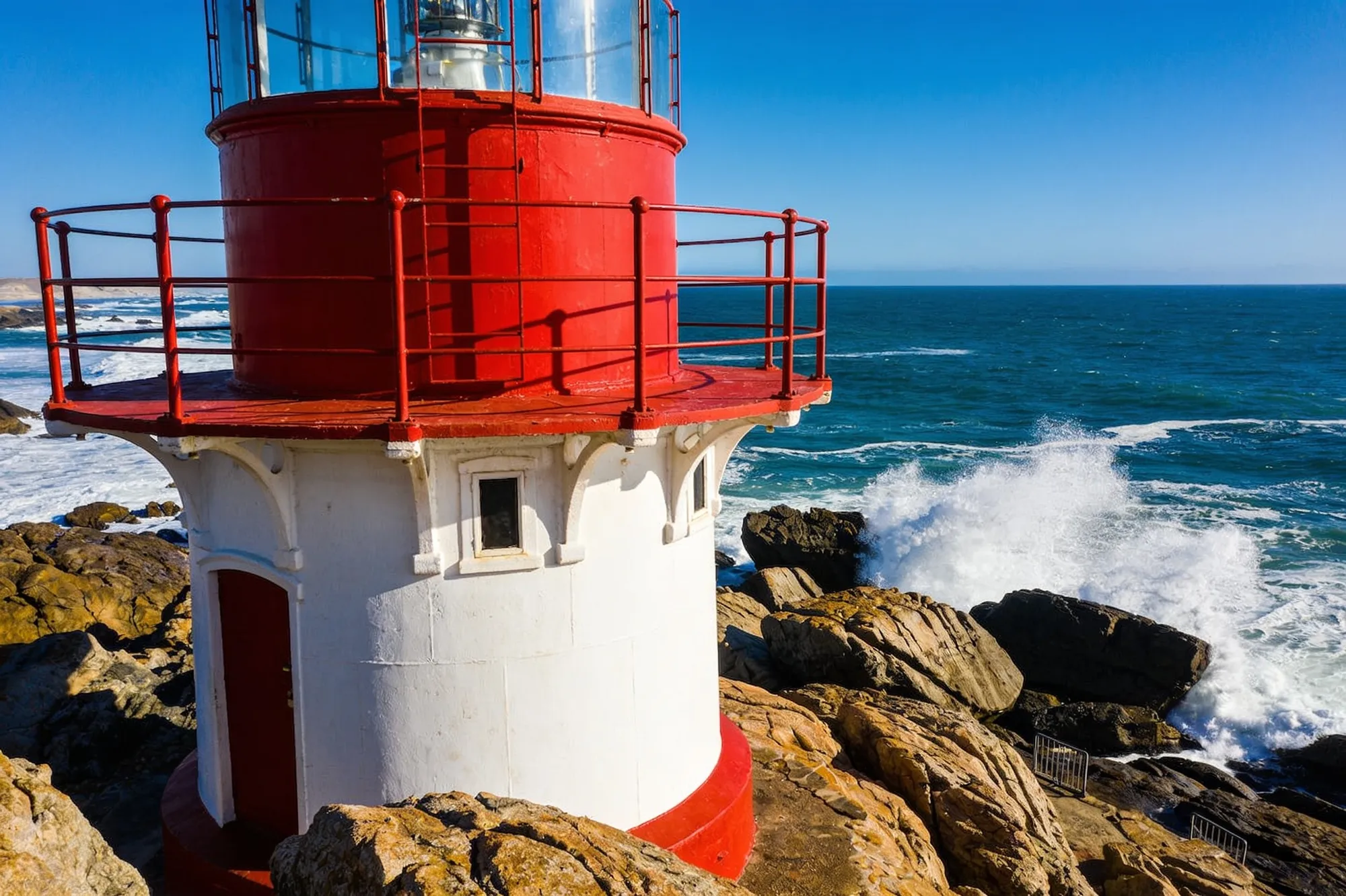
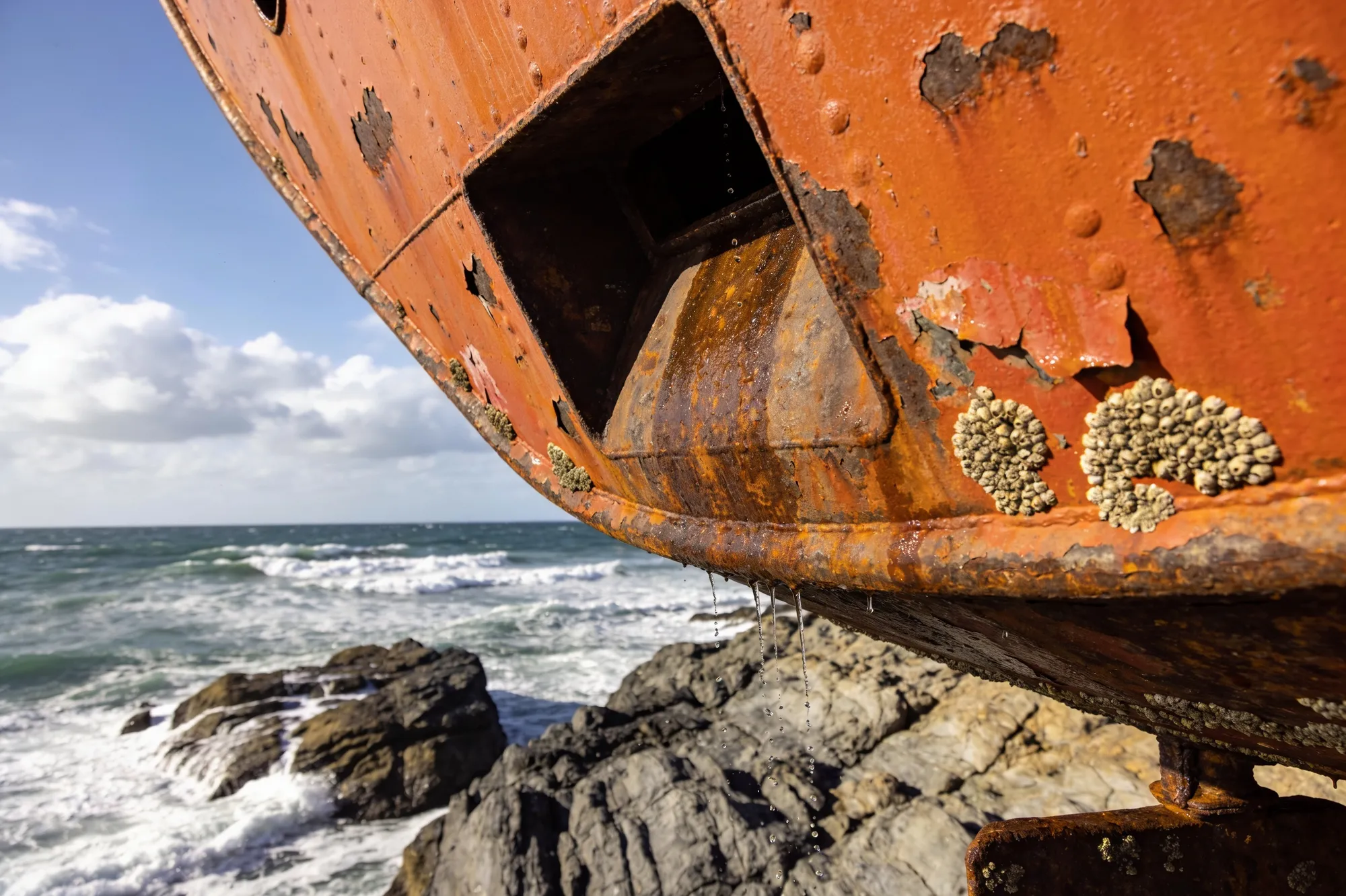
A little inland stands the red-and-white Cape Agulhas lighthouse, lit in 1849 and the second-oldest in the country, with a museum and a climb to the top. West along the coast toward Suiderstrand, the rusting hull of the Meisho Maru, a fishing boat wrecked in 1982, lies on the rocks as a reminder of why this coast was called a graveyard of ships. It’s a long drive down here, usually done as a day trip, so set out early, dress for the wind, and make the lighthouse and the wreck part of the trip.